
Actualité volcanique, Articles de fond sur étude de volcan, tectonique, récits et photos de voyage
The ascent of Pico do Fogo comes naturally : about 1,000 meters altitude , climbing in slag, lapilli, and some welded pyroclastic from phreatic eruption to reach the summit crater, with a
diameter of 500 meters to a depth of 150 meters.
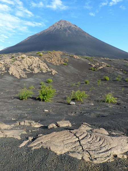 Fogo - the almost perfect cone of Pico do Fogo - photo © Carole and
Frederic Hardy 2013.
Fogo - the almost perfect cone of Pico do Fogo - photo © Carole and
Frederic Hardy 2013.
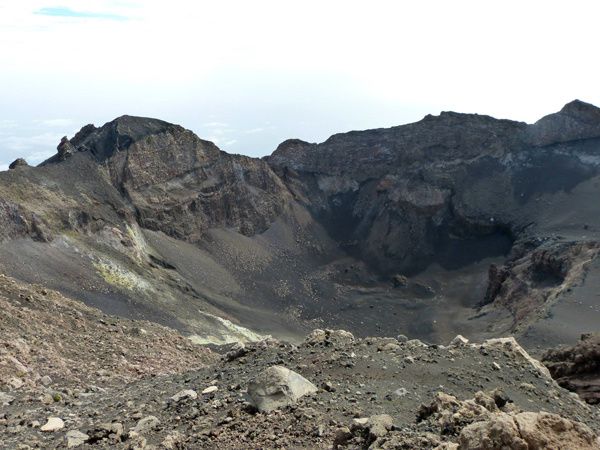 Pico do Fogo - the summit crater - photos © Carole and Frederic Hardy
2013.
Pico do Fogo - the summit crater - photos © Carole and Frederic Hardy
2013.
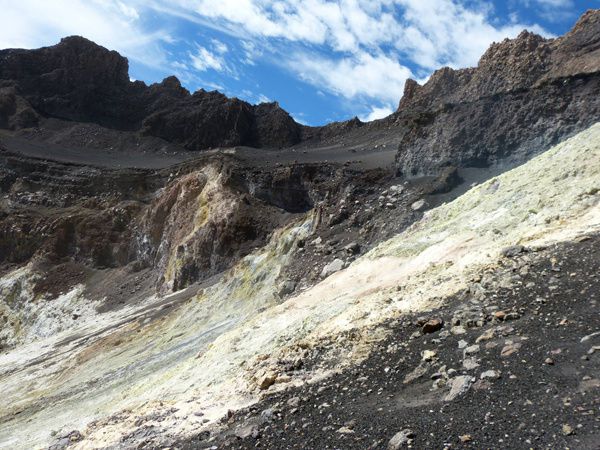 Photo © Carole and Frederic Hardy 2013.
 Pico do Fogo - intracrateric
fumarolic activity and sulfur deposits - photo © Carole and Frederic Hardy 2013.
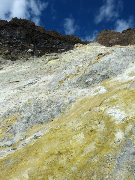
Pico do Fogo - intracrateric
fumarolic activity and sulfur deposits - photo © Carole and Frederic Hardy 2013.
Seismic activity on the common apron of Brava and Fogo, and the discovery of submerged cones between Cadamosto and Brava, and between Brava and Fogo, suggest the existence of two different
plumbing system, one supplying in magma Fogo and the cones between Brava and Fogo, the other supplying
the seamount Cadamosto .
The activity of Pico do Fogo has been listed since the European settlement around 1500 , with inaccuracies for the first 300 years ... About 30 historical eruptions are recognized and detailed in
the book of Orlando Ribeiro ( 1960) .
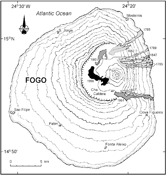 Fogo - location of
various historical lava flows with date - doc . GVP
Fogo - location of
various historical lava flows with date - doc . GVP
Until 1785, the volcanic activity is localized largely to the summit of Pico, with rest periods between 1500 and 1564, then from 1604
to 1662.
The eruption of 1785 ( 24.01-25.02 ) is the only historical eruption involving simultaneously vents inside and outside of the collapse scar, and the last to score the top with phreatic
explosions. The ashes will sprinkle the archipelago to Maio, at a
distance of 140 km., which will receive more than 20 cm. ashes. The lava flows external of the caldera will reach the Atlantic Ocean
after traveling several kilometers. Many farmland will be destroyed by this eruption .
 Fogo - photo © Carole and
Frederic Hardy 2013.
Fogo - photo © Carole and
Frederic Hardy 2013.
After 1785, the activity
localizes preferentially on a NS fissure on the side of Pico do Fogo . Some highlights :
In June 1799 , a crack opens in the north of the caldera between the
two vents active in 1785. The
explosive activity built a small cone on the crack and lava is flowing on the east side of the caldera and into the ocean, burying cultures. ( 02.06 -
28.06.1799 )
The eruption from 9
April to 2 May 1847 is located on an eccentric crack to the north of the cone of Pico, and marked by Strombolian explosions and lava flow. Victims are counted, following the pre-eruptive seismic activity.
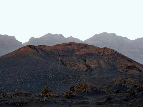
Between 27 June and 15 December 1857 , an eccentric vent located in the southern part of the area of cracking is the seat of strombolian activity, that will build a cinder cone and produce two
streams that do not reach the coast.
The last two eruptions will be discussed separately .
Sources:
- Global Volcanism Program - Fogo
- Magma
storage and ascent of historic and prehistoric eruptions of Fogo
Cape Verde Islands: A barometric , Petrologic and geochemical approach - by
Elliot Hildner / University of Bremen
Thème Magazine - Hébergé par Overblog


/image%2F0935525%2F20221112%2Fob_03b696_ethiopie-scanner-bd-018.jpg)
/image%2F0935525%2F20221111%2Fob_1285d5_site-troglodyte-de-jonas-jmm.jpg)
/image%2F0935525%2F20221108%2Fob_d0f7fc_site-troglodyte-de-jonas-jmm.jpg)
/image%2F0935525%2F20221110%2Fob_af1829_puy-mary-2-jmm-1-28-10-2022.jpg)